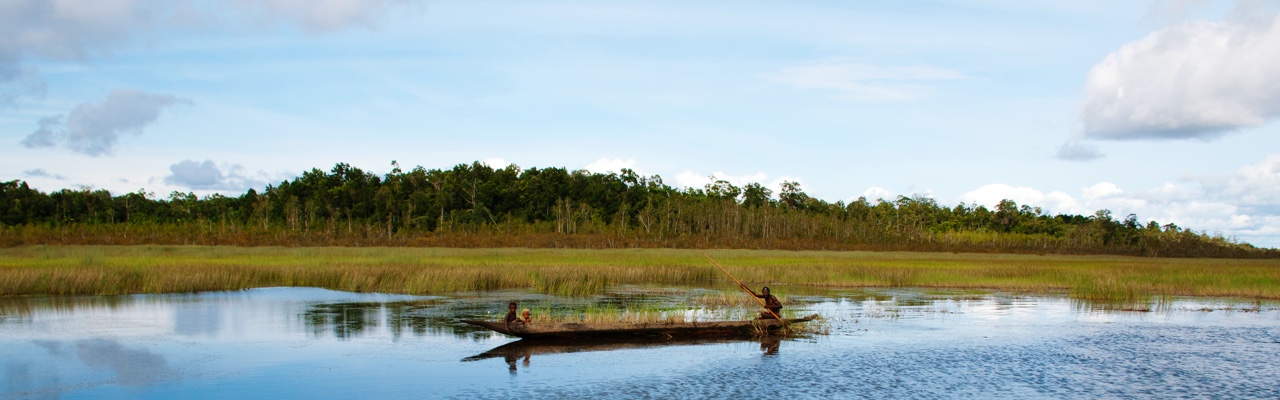
In Papua and West Papua province, SEKALA has worked for the REDD+ Task Force and the Low Carbon Economic Development Task Force to provide baseline data and cadastral maps. SEKALA has also worked for the Lucile Packard Foundation in Merauke District to support green development (Kabupaten Hijau) at the District and Provincial Jurisdictional Level; and the United Kingdom Climate Change Unit (UKCCU) Papua Program to collect and analyse spatial data for Papua Province.
SEKALA also led a consortium of organizations (Papua Civil Society Support Foundation – PCSSF) and the Nordic Consulting Group (NCG) to carry out a Strategic Environmental Assessment (SEA) for spatial planning in Papua province. The SEA assessed the economic, social and environmental consequences of different development scenarios and provided improved spatial information to the Papuan provincial government. A great range of spatial and statistical data was collected and analysed for this project so that spatial planning recommendations could be provided to the governments of Papua and West Papua.
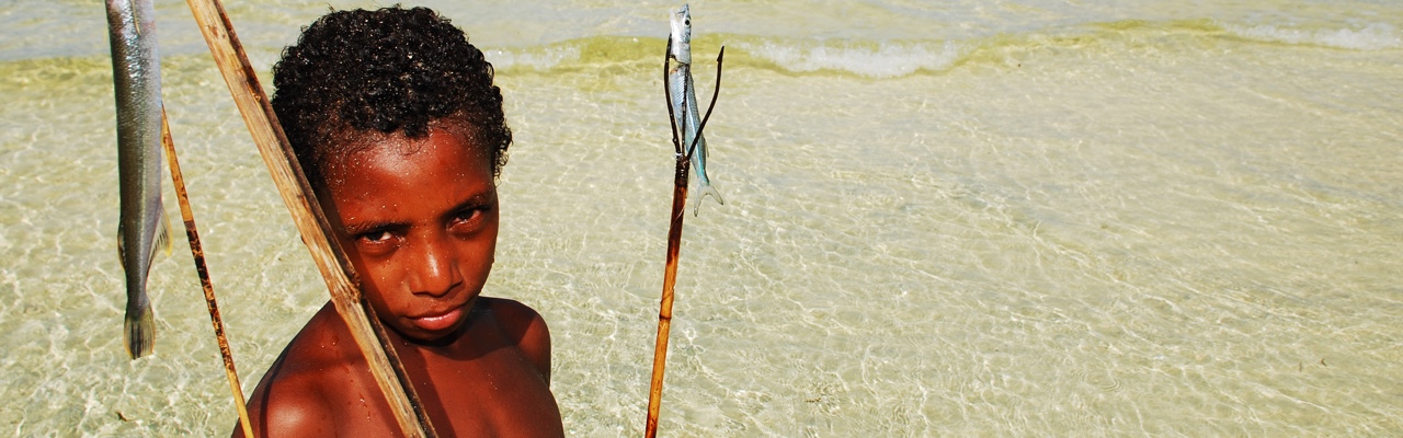
SEKALA also regularly provides technical support to local organisations conducting community mapping in Papua and West Papua province and provides training on community mapping, spatial planning, GIS and remote sensing. Moreover, SEKALA has developed a dynamic threat analysis for Papua. This work highlights the past and current socio-economic threats to Papua’s forests.