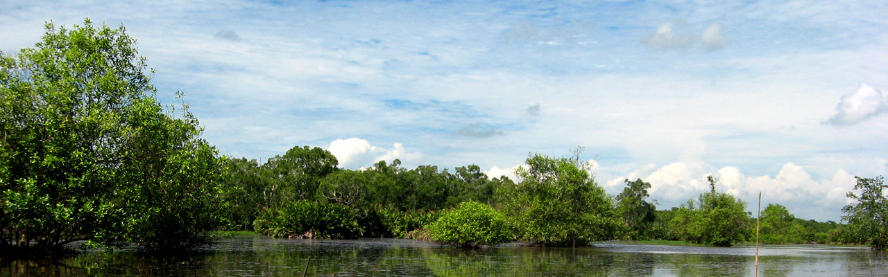
The rapid development of, and ease of access to, high quality satellite imagery and inexpensive and accurate Global Positioning System (GPS) navigation devices can allow policy makers to monitor forest cover and to make informed spatial plans that facilitate sustainable development.
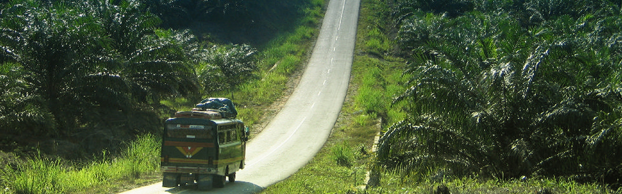
SEKALA uses satellite data and spatial analysis to provide accurate information about Indonesia’s forest cover and land cover change. We assist policy makers to make informed decisions about spatial plans and concession allocation. We encourage policy makers to take into consideration High Conservation Value Forests and carbon rich forests and soils. Spatial analysis can also ensure that governments are able to allocate suitable or degraded lands for oil palm or industrial timber plantation expansion.
SEKALA's remote sensing and spatial analysis lab is equipped with state of the art equipment (including a plotter, licensed GIS software and work stations), qualified GIS/remote sensing technicians and a vast database of spatial data. The lab provides high and low resolution satellite imagery for the Indonesian archipelago and offers a suite of image processing and printing services.
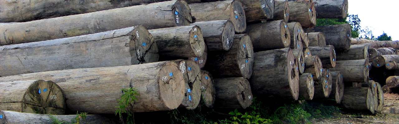
Satellite data and spatial analysis can be combined with ground-truthing to detect:
SEKALA’s field of expertise include:
SEKALA can also provide customized, large-scale photographic prints of purchased satellite imagery.